Repository, comparison, GIS, evidence
A drone media archive that behaves like a map.
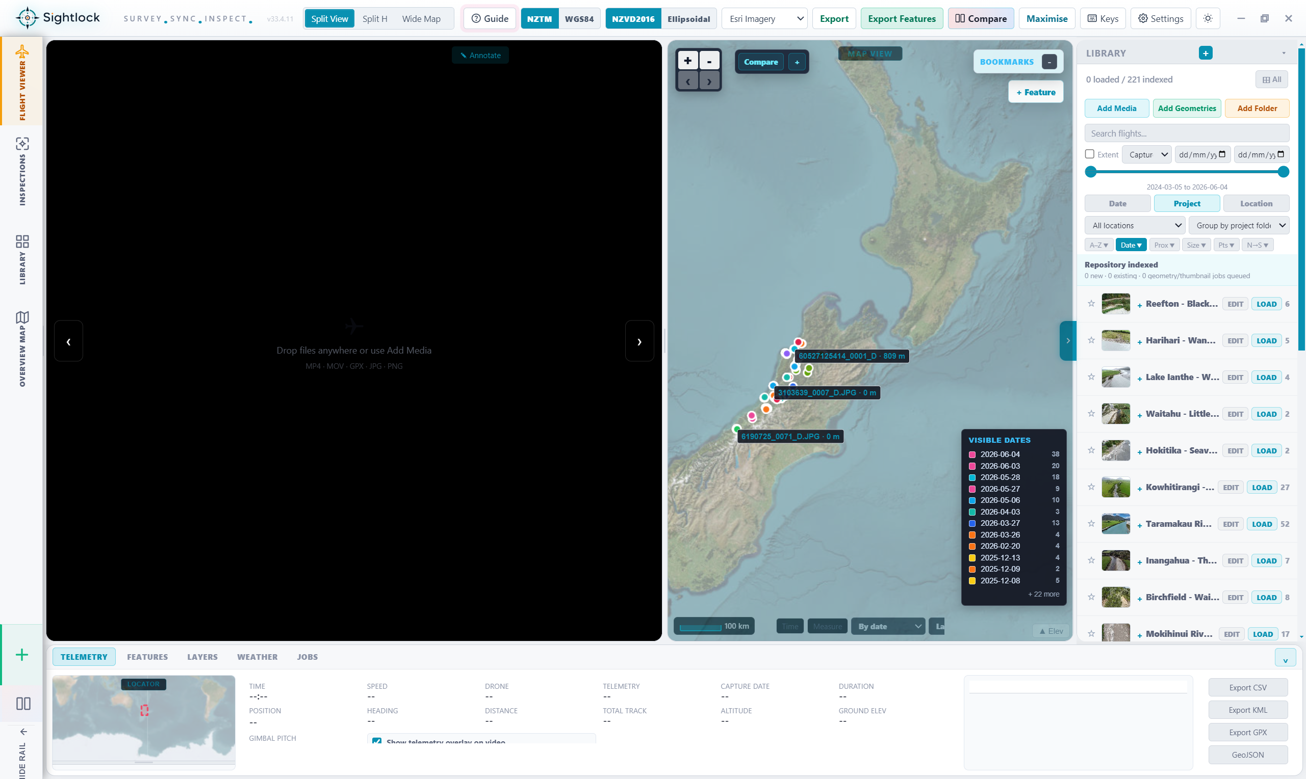
Sightlock is a repository platform for organisation-wide drone media. The core objects are projects, media, geometry, features, observations, and comparisons, not work orders or generic asset records.
01
Index the organisation archive
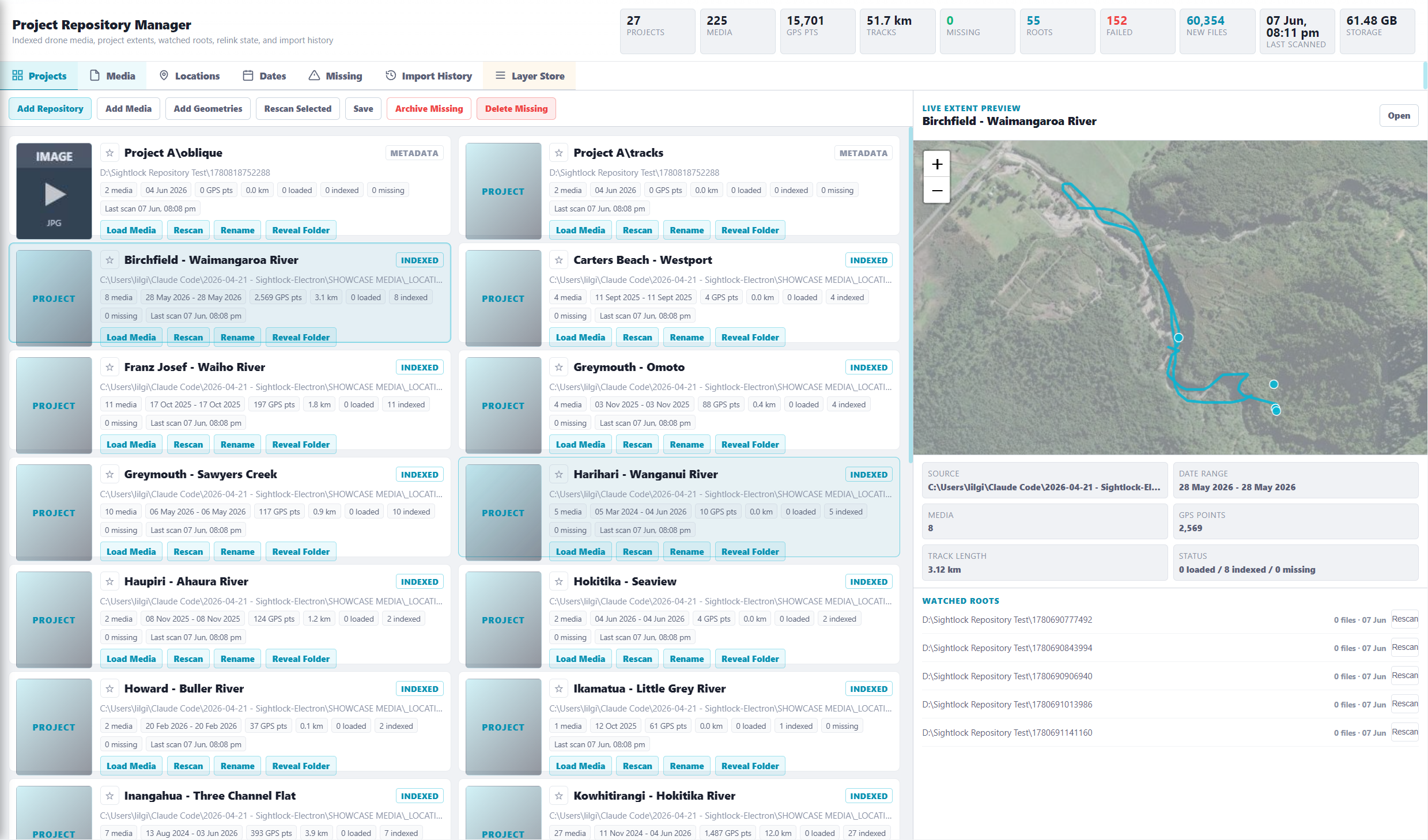
Watched roots, project cards, generated thumbnails, missing-file state, telemetry source, GPS points, date ranges, and storage context stay searchable.
02
Navigate by geometry
Open footage from a map extent, flight track, photo point, repository card, visible project filter, or media row instead of hunting through folders.
03
Compare the same place over time
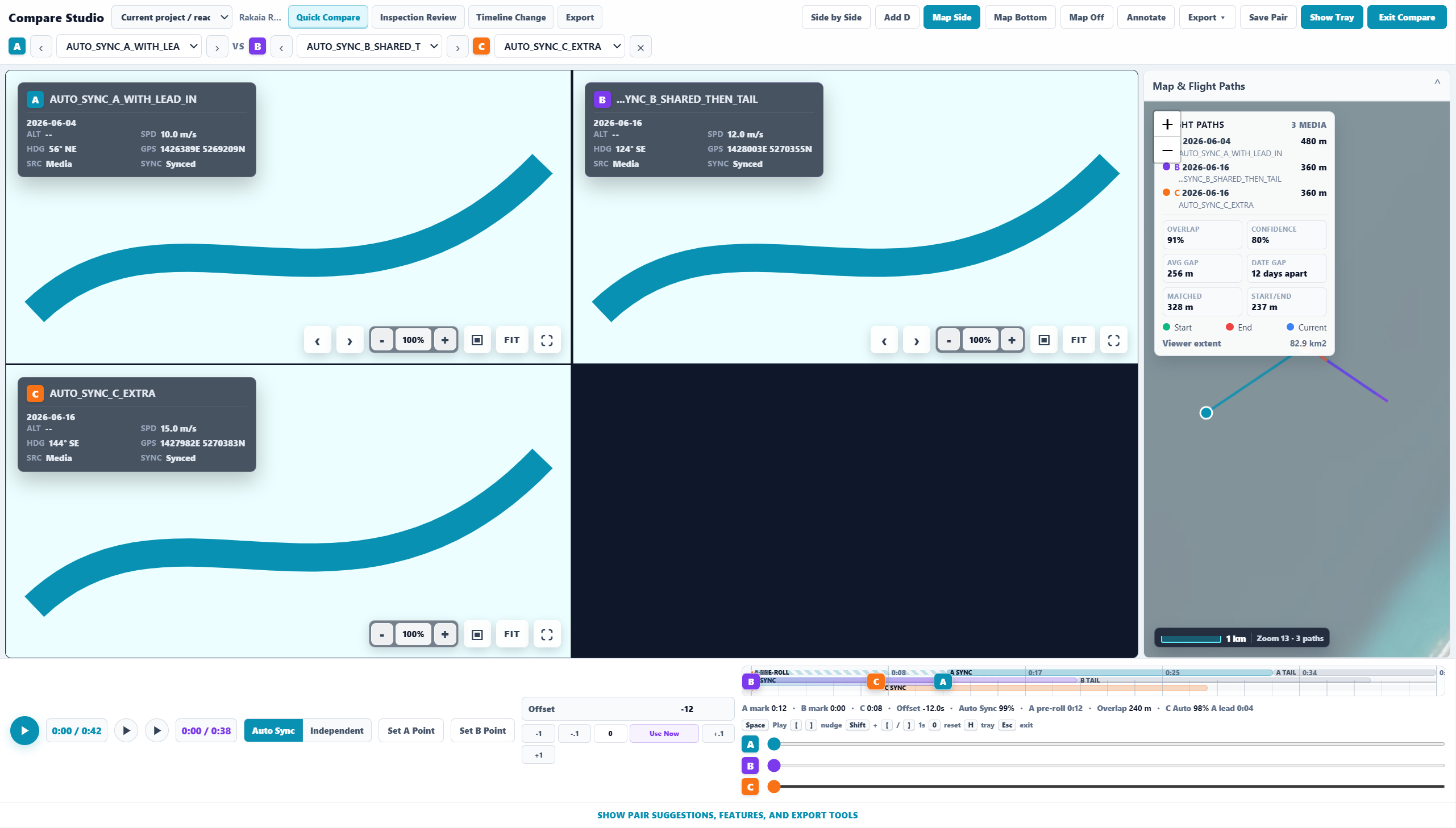
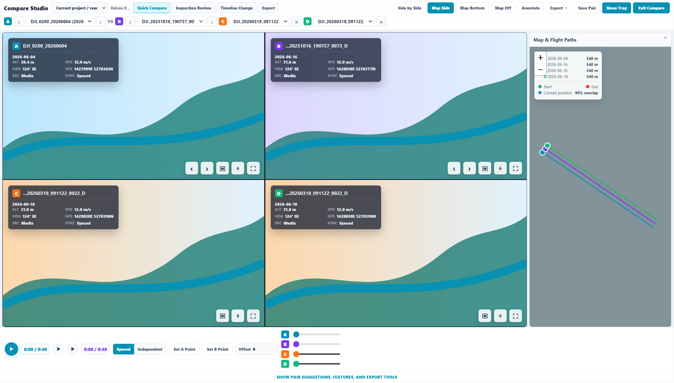
Current media becomes A, the best path-similarity match becomes B, and the comparison stays focused on large media panes with map context available.
04
Capture observations
Features and notes can attach to coordinates, media time, severity, type, side, chainage, and export attributes for downstream GIS workflows.
05
Control GIS context
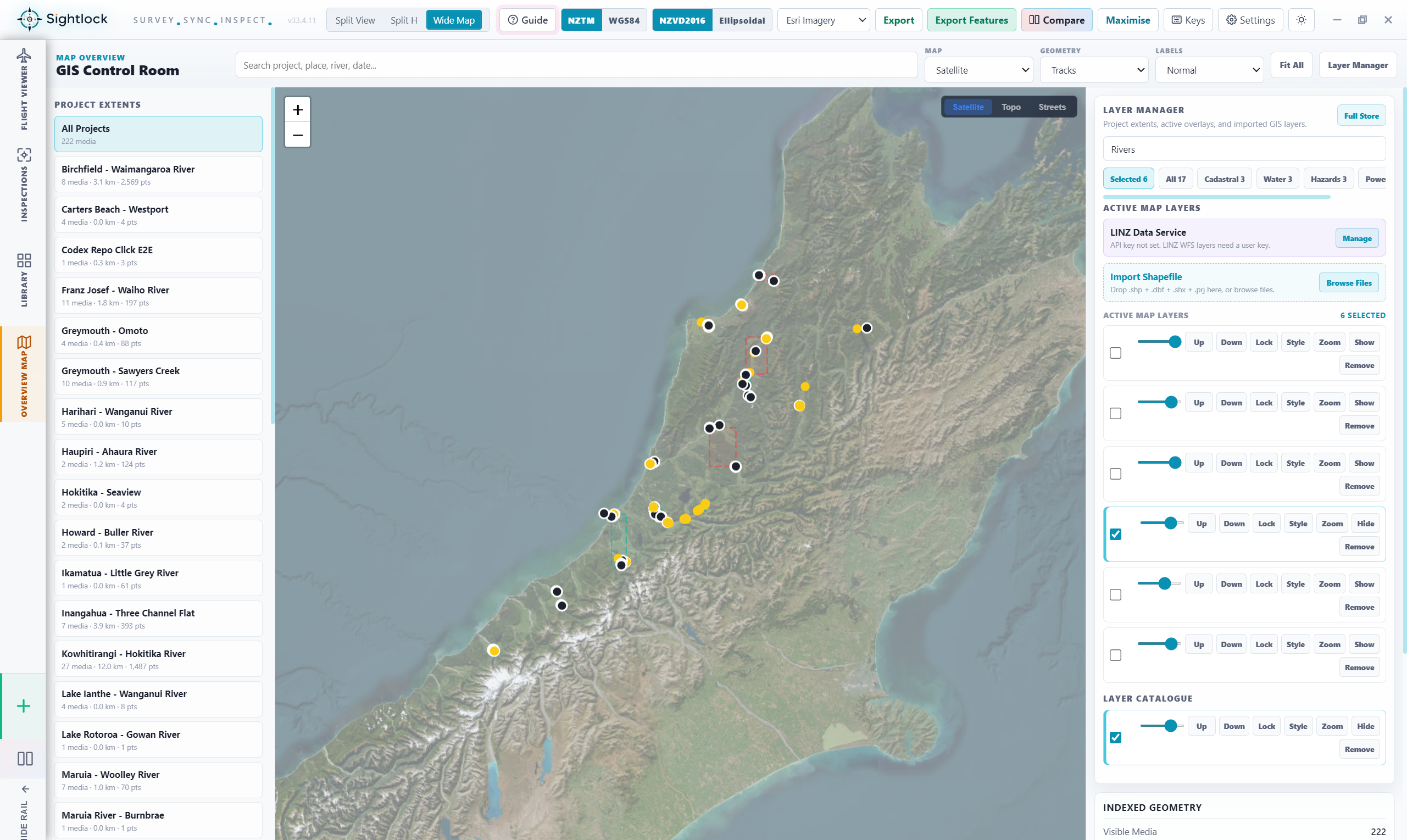
Project extents, media tracks, layer manager, active layers, imported shapefiles, opacity, draw order, and map styles sit in one workstation.
06
Export reviewed evidence
WYSIWYG screenshots, synced clips, feature tables, KML, GPX, GeoJSON, comparison packages, and export history stay connected to what was reviewed.

 Workflow film placeholder