Drone evidence for teams that work by place, date, and repeat inspection.
Sightlock is strongest where media has spatial meaning: rivers, coast, stopbanks, bridges, seawalls, utilities, corridors, and recurring survey locations.
Rivers and coast
Repeat reaches, erosion, scour, stopbanks, and flood works.
Open a river reach from the repository map, compare alternate dates by path similarity, capture features on the map, and export evidence that remains tied to location.
Visible-extent pair suggestions
Start/end/current path legend
CSV, KML, GPX, and GeoJSON outputs
Infrastructure inspection
Roads, bridges, seawalls, culverts, and construction sites.
Use large video panes, telemetry overlays, and per-pane zoom/pan to line up repeat inspections even when flight distance or framing changes.
A/B compare by default
Optional C/D 2x2 review
Feature severity, type, notes, and timecode
Utilities and corridors
Linear assets need track-aware review, not filename hunting.
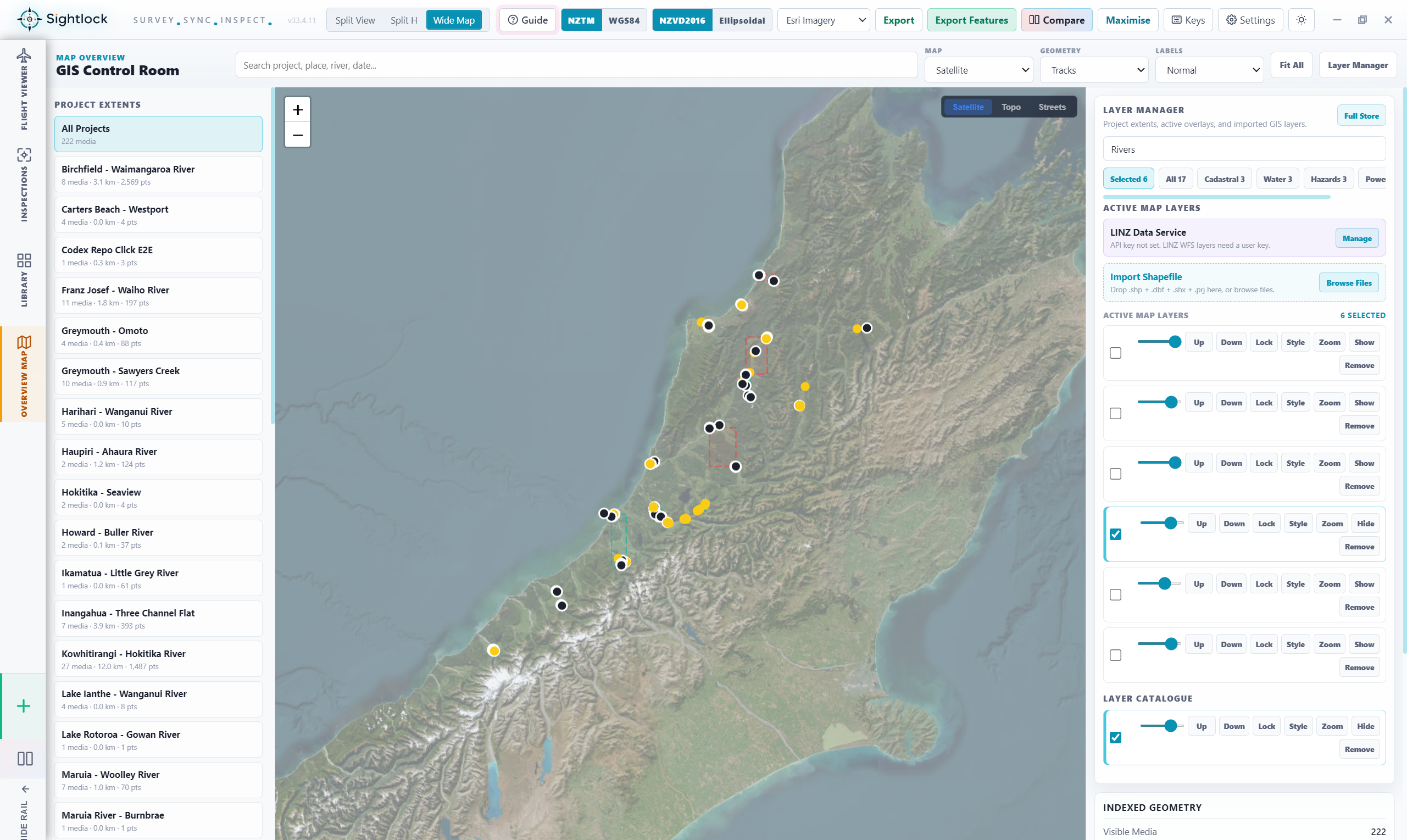
Keep flight paths, media points, project extents, and layer overlays visible so reviewers can move by chainage, asset reach, or mapped geometry.
Layer Manager and shapefile imports
Project/date/location filters
Geometry launch into Flight Viewer
Survey and GIS teams
A practical bridge between drone folders and spatial workflows.
Index folders once, keep geometry searchable, open media by map extent, and export clean evidence packages for downstream reporting and GIS work.
Watched roots and import jobs
Recent media and geometry previews
Project health and missing-file state
Councils
River, coast, stopbank, road, bridge, and works-site drone archives searchable by place and date.